In rural areas its not always obvious who owns a particular bit of land – but land ownbership information can be really inportant for rural residents who are trying to sustain and improve their comunities, their environment and businesses.
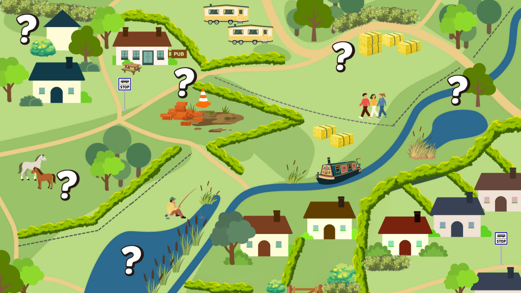
The Government has launched a consultation proposing new measures to open up information held by the Land Registry, the official body that registers who owns land in England and Wales. Members of the public (that’s you!), land owning or not, are invited to get involved by submitting your views and evidence. The information relating to the consultation is already publicly available, but the new proposals would make this information completely free to obtain.
Land issues matter in rural areas because how land is owned, used and managed affects homes, livelihoods and the future of village life. For example:
- land for affordable housing can help local people, young families and workers stay in their communities.
- access to land and decisions about farm succession affect opportunities to grow food and sustain farming businesses.
- decisions about land use must balance food production, wildlife, green space and climate protection.
- community ownership can give residents more control over housing, land and spaces that meet local needs.
The last time that the Westminster government gave the public a glimpse of who owns the land beneath our feet was 150 years ago, with the Victorian Return of Owners of Land. Ministers started again down this path last year, with Housing Minister Matthew Pennycook setting out his clear intent to see land ownership information made public and free. Then this spring, revealing who owns England became government policy, with DEFRA’s Land Use Framework pledging to “Work with HM Land Registry this year to provide access to free, spatial land ownership data for larger properties covering the vast majority of England and Wales, excluding almost all homeowners.”
There could be many benefits from publishing a new free, public dataset of the owners of significant landholdings. For example:
- Local authorities, parish councils and community groups could use this information to help identify suitable land for affordable social housing and ease the process of land assembly, which is often made more difficult by not knowing the owners of multiple contiguous land parcels
- Farmers and landowners could use of this data to identify who owns land in their area and more easily collaborate on creating wildlife corridors, put together Landscape Recovery bids, or apply for private funding to restore nature.
- Groups seeking to exercise the Community Right to Buy could use this to understand who owns land in their area, put in nominations for Assets of Community Value, and negotiate buyouts with owners
- Swimming, kayaking or walking groups could freely and easily identify the owners of stretches of riverbanks and fields and seek to negotiate permissive access with landowners, or identify the owners of land where public rights of way require upkeep, and help resolve these obstacles
The proposal: A free public dataset identifying owners of significant landholdings in England and Wales.
The proposed new approach to information sharing would make this ownership information freely accessible, extending the approach already used for UK and overseas company-owned land. The information is already on a public register; the proposal is about removing the paywall for these larger parcels, rather than disclosing previously private information.
Size matters: Around 22.3 million land parcels are smaller than half a hectare but together cover only about 5.5% of registered land. About 1.7 million larger parcels cover roughly 95% of registered land. Identifying their owners individually currently costs £7 per search—around £11.9 million in total.
How a could a minimum land-area threshold balance public access to ownership information with homeowners’ privacy? The government proposes a threshold between 0.5 and 10 hectares to exclude most residential properties. This would exclude over 22 million land parcels while revealing ownership of around 95% of registered land in England and Wales.
The consultation is being run jointly by HM Land Registry, MHCLG and DEFRA. The full consultation document can be found here. You can respond online here, or by sending your response by email to futureaccessconsultation@landregistry.gov.uk. You have until 22nd December 2026

